- May 20, 2014
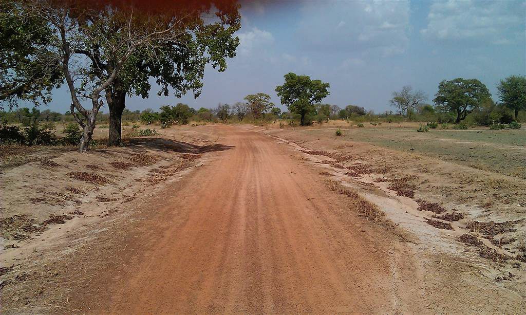
The site is generally centred on 808638.25E, 1204916.05N (Ghana WGS84, UTM Zone 30) to the north of Garu and Tempane, along the Garu-Kuzuwa highway. The general landscape is fairly flat and sparsely vegetated. To the east of the site lies the Gyelakologo River (approximately 1.4km) which feeds into an expanse of floodplains before continuing to flow north in the Gagbiri River. There is also a new body of water (reservoir) to the west of the site (approximately 1.2km) formed over natural watercourses and rivers. The only defined boundary of the site is along the northern boundary which is formed by the unmade access road running along its length. The southern boundary of the site was demarked by an unmade track, visible from the aerial imagery. Another unmade track dissects the site from north to south, again visible on the aerial imagery. The area of proposed site has been calculated at 24.51 Acres (9.92 Hectares).

 NMSI provides a full design/build/equip/train service for the development of locally appropriate health-related infrastructure. NMSI brings to bear the expertise of award-winning experts in the field to provide the latest in innovation and design.